A comprehensive GIS monitoring and evaluation platform. This backend was used to build surveys and analyze the data collected by enumerators using a mobile app.
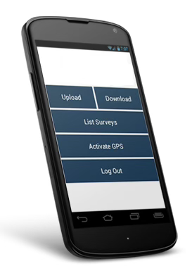
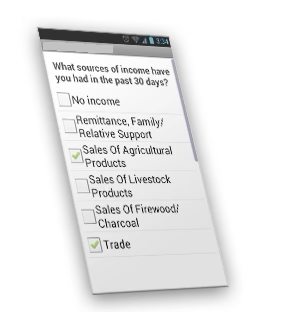
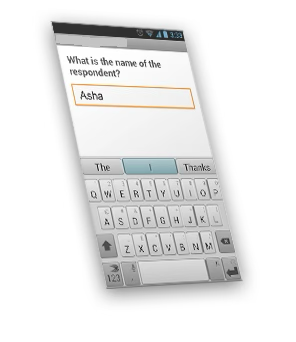
The solution allowed users to define custom surveys (including input field types), push them out to fieldworkers, and limit access by geo-fencing and user roles. Fieldworkers used mobile phones running a version of the application (on an Android platform) to complete and submit beneficiary interviews electronically ensuring real time and secure transmission of data from the field with metadata enhancements such as geo-locations by leveraging the phones GPS functionality.
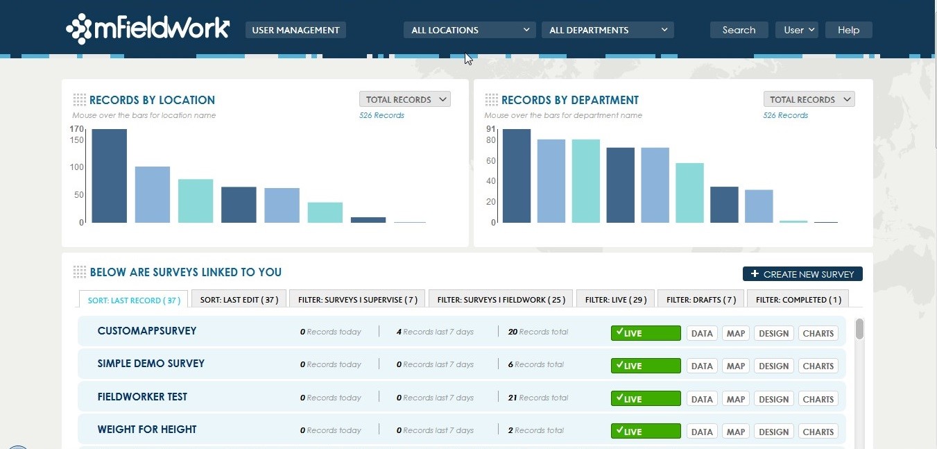
Administrators were able to view progress and performance information in real time at a glance in a custom built dashboard that delivers business intelligence by categories, in an easy to view format (see above). In addition, administrators and researchers were able to build custom reports and analytics, publish them on a public (or private) website (availing a URL to link to the data) or export the data in various formats such as Excel for further manipulation.
The mFieldwork solution was launched in June of 2013 and has received interest from the UN in addition to several humanitarian NGO’s and research organizations.
Centuria Limited also undertook capacity building within mFieldwork and trained developer to take over development and maintenance of the application
Relevant Functionality
- Geolocation
- Role Based Access Control
- Visualization of data in charts and tables
- Data export to PDF and Excel formats